A new geospatial intelligence certificate is being offered to Virginia Tech students

Editor's note: The story below was orginally published on Oct. 18. It has since been updated.
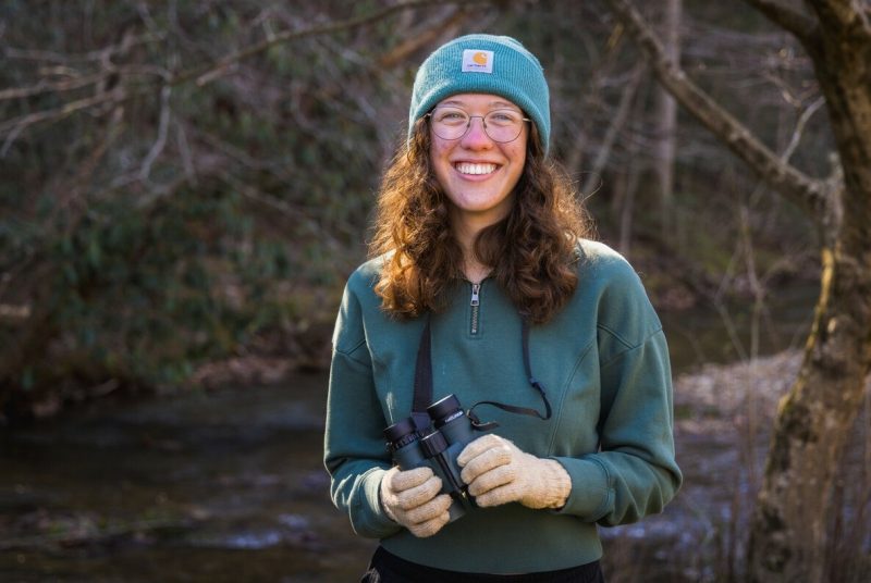
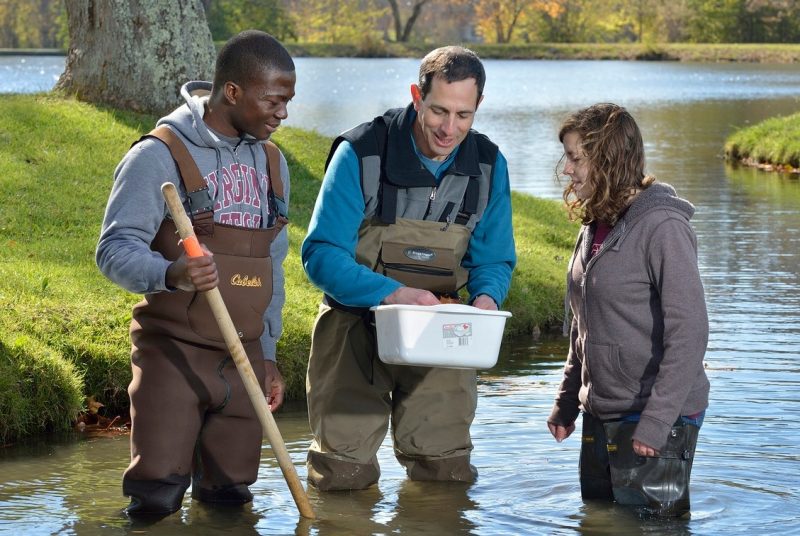
Geospatial technologies are increasingly utilized to help governments, companies, and communities understand the complex environmental, security, and intelligence challenges of today.
To ensure that Hokies are prepared to meet those challenges, Virginia Tech students are now eligible to receive the U.S. Geospatial Intelligence Foundation’s Geospatial Intelligence Certificate (USGIF GEOINT). This program, situated in the Department of Geography, will provide students with training on how to utilize geospatial technology to tackle environmental, security, and natural resource management challenges.
"The USGIF GEOINT credential signals to employers that a student has acquired a suite of competencies, including geographic information systems, remote sensing, spatial analysis, and intelligence applications,” said Professor Tom Crawford, chair of the Department of Geography. “Having our students be eligible to apply for USGIF’s certificate will enhance the educational credentials of graduates seeking to work in the government or private sectors to support national security, environmental security, and associated intelligence operations.”
The USGIF GEOINT certificate program will provide students with a rigorous training in the applications of geospatial technology, including environmental resources monitoring, satellite imagery assessment, and emergency response optimization. The program is coordinated by Collegiate Assistant Professor Santosh Rijal.
Any undergraduate student enrolled at Virginia Tech is eligible to pursue the USGIF GEOINT certificate, and students working toward a minor in geographic information systems are particularly encouraged to consider seeking certification. USGIF provides opportunities for scholarships to Virginia Tech students interested in geospatial intelligence.
Virginia Tech students’ eligibility to apply for the USGIF GEOINT certificate program is the result of a collaborative effort between USGIF, the College of Natural Resources and Environment, and the Hume Center for National Security and Technology.
"The Hume Center was thrilled to partner with the geography department on this program with the USGIF,” said Ehren Hill, associate director for education and outreach at the Virginia Tech National Security Institute and managing director of the Hume Center. “This certificate will help students who have an interest in the geospatial technologies better highlight their ability to support the geospatial community and find meaningful careers in national security and other important fields.”
Virginia Tech is currently one of only 21 colleges and universities whose students are eligible to apply for USGIF geospatial intelligence certification. By providing the GEOINT certificate, the USGIF is meeting its aim to promote education as a means to advance geospatial intelligence technologies and practices.
“CNRE has always led the way in the work they do, and this certificate program is another example of enabling students to be prepared with the very best skills for the GIS community,” said Esri Director Patty Mims, M.S. ‘94. “GIS technology enables analysis of decisions in every industry from natural resources to commercial businesses, state and local governments, and more.”
The GEOINT certificate is not a Virginia Tech credential and is offered by the U.S. Geospatial Intelligence Foundation. Students can learn more about the program and enroll by visiting the GEOINT page.